New Products

Product Details


OS One Inch Map of Great Britain - Redcar & Whitby
Units in Stock
1
Product Code:TMP0005
Product Condition:Used
£7.00 inc. tax
Description
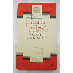
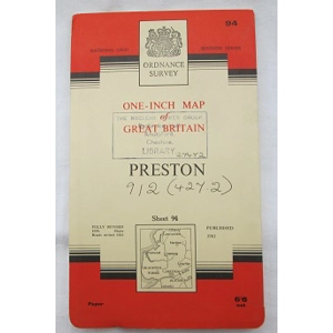
This unassuming item is a memento of the nuclear age. Originally costing 6'6, this Ordnance Survey Half-Inch Map of Great Britain - Redcar and Whitby (Sheet 86) paper map has survived remarkably well for over 50 years. The thin card cover has slight creasing around the edges. On the front there is an ink stamped address for the library of The Nuclear Power Group in Knutsford, Cheshire along with a hand written library reference number. The group aided in the design and building of many of the early nuclear power stations in th UK. Intact when fully opened up, there are no holes, tears or discolouration. The colour remains vivid and overall the map is very clean with no added annotations. A great piece for someone who collects vintage maps, for someone connected to or interested in nuclear power stations or for someone looking at how the Redcar & Whitby area has changed over the decades.
Date: c.1965 (7th Series)
Publishers: Director General of the Ordnance Survey
Makers: Ordnance Survey
Made in England
Dimensions (folded): 13cm x 21.5cm
Dimensions (unfolded): 70cm x 84cm
Date: c.1965 (7th Series)
Publishers: Director General of the Ordnance Survey
Makers: Ordnance Survey
Made in England
Dimensions (folded): 13cm x 21.5cm
Dimensions (unfolded): 70cm x 84cm
Reviews
No Reviews Posted Yet - be the first!
write review